• Home
• Statstics
• City Hall
• The Westchester
• City Center
• The Galleria
• The Pavillion
• Real Estate
• Schools
• Area Colleges
Espanol
• Recursos Latino
• Inmobiliarias
• Topix News
• Disclaimer


For corrections or comments
please contact:
Delphi Communications
Phone: 1-800-255-6179
Fax: 1-914-723-8541
e-mail delsys@email.com
copyright 2005
Delphi Communications
|
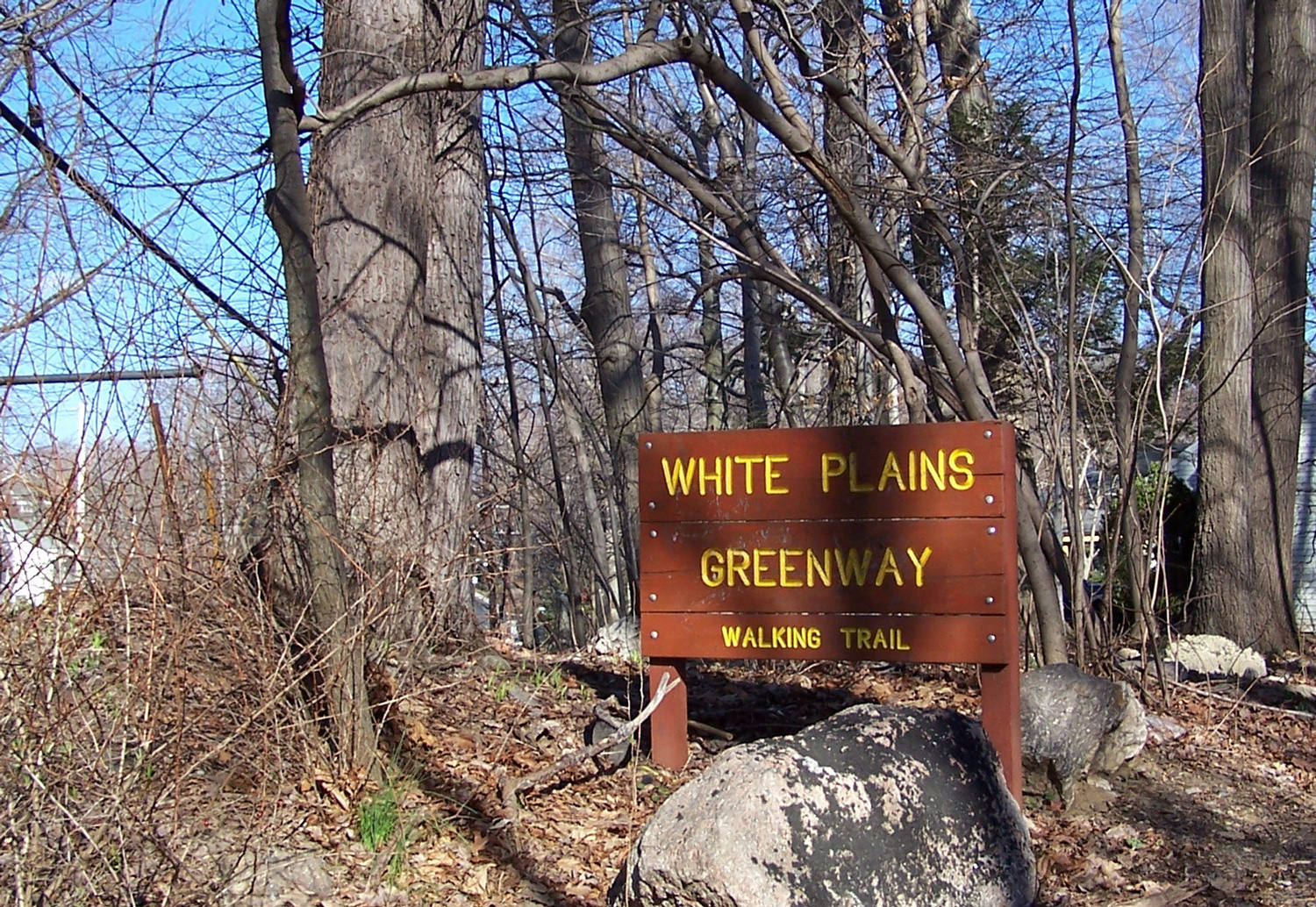
Greenway at Ridgeway

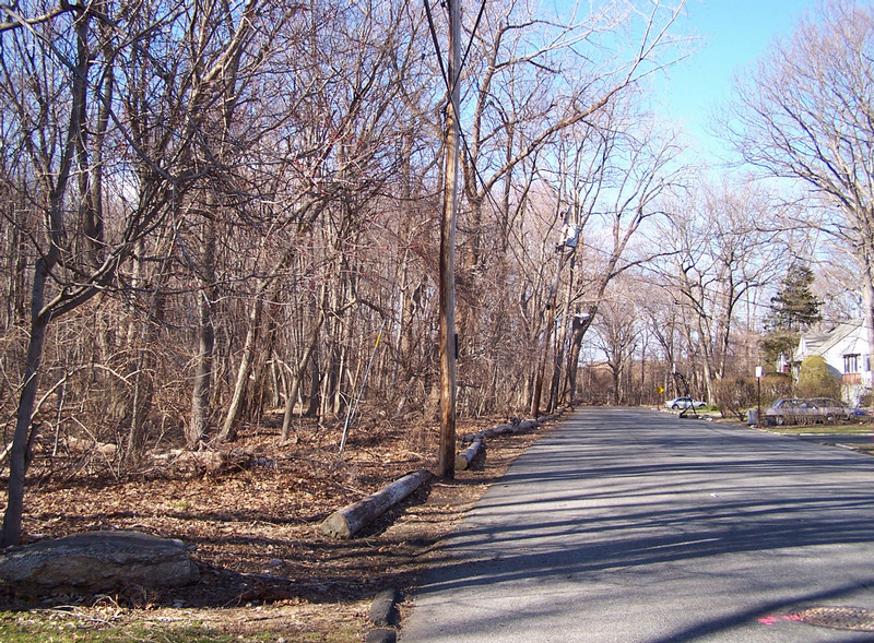
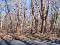
Railside Ave. Lots to be sold
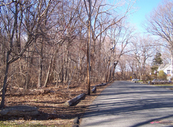
Railside Ave One of sold lots
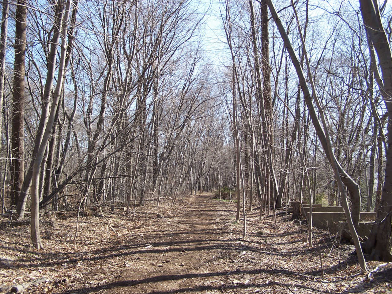
Greenway - South to Scarsdale
North of the Greenway -
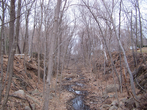
Right of Way, north of Bolton

Right of Way, south of Bolton

|
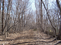
The Greenway
In 1910, the New York, New Haven & Hartford bought up two unsuccessful short lines in Westchester and the Bronx. The two properties were merged and The New York, Westchester & Boston Rail Road was formed. Trains ran from the New York City to Westchester Avenue in White Plains from 1912 to 1939. By 1940 the track and most of the structures were torn out.
In White Plains, what remained of the abandoned and overgrown right of way was proposed to be "recreation & open space" in the Comprehensive Plan of 1977. The proposed "green" corridor ran from the Scarsdale border to the intersection of Mamaroneck Avenue and Bloomingdale Road.
18 years later, in October 1995, the White Plains Vision Report - Phase I Land Use Report, recommended that a linear park be created on the old railroad right-of-way.
In 1996 much of the land was dedicated as White Plains Parkland. At the time, the The Planning Board offered the following suggestions:
"Parking for residents wishing to use the right-of-way should be established at convenient locations with adequate parking spaces provided.
All access locations should be clearly marked and these locations should be included in any publications, listing park and recreational facilities prepared and distributed by the City.
To prevent the problem of further encroachments by adjacent property owners, the entire site should be clearly delineated by means of signs, walls, fencing or other appropriate means."
Proceedings of the Common Council February 5, 1996
Map: The City of White Plains
Comprehnsive Plan, December 1977
Map: White Plains Vision
December 1997
Proceedings of the Common Council February 5, 1996
2006 - Proposed sale of parcels on Railside Avene:
Conservation easement on the westerly side of Railside Avenue
Rocky Dell/Reynal Park Association objections
Conservation Board Opinion League of Women Voters Opinion


|
|